- Australia ▾
- Topographic
▾
- Australia AUSTopo 250k (2025)
- Australia 50k Geoscience maps
- Australia 100k Geoscience maps
- Australia 250k Geoscience maps
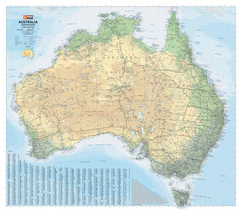
- Australia 1:1m Geoscience maps
- New Zealand 50k maps
- New Zealand 250k maps
- New South Wales 25k maps
- New South Wales 50k maps
- New South Wales 100k maps
- Queensland 10k maps
- Queensland 25k maps
- Queensland 50k maps
- Queensland 100k maps
- Western Australia 25k maps
- Western Australia 50k maps
- Western Australia 100k maps
- Compasses
- Software
- GPS Systems
- International ▾
- Wall Maps
▾
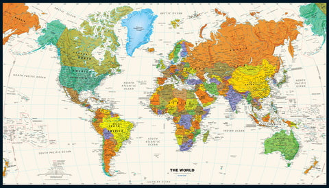
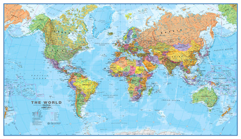
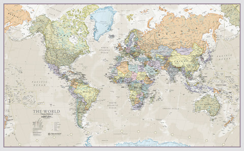
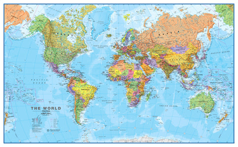
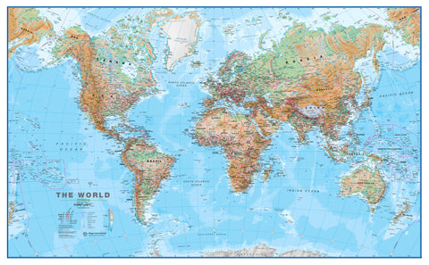
- World
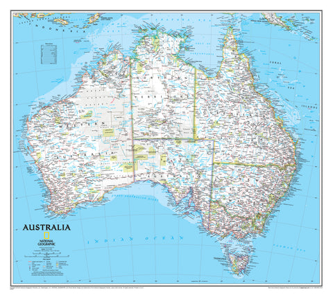
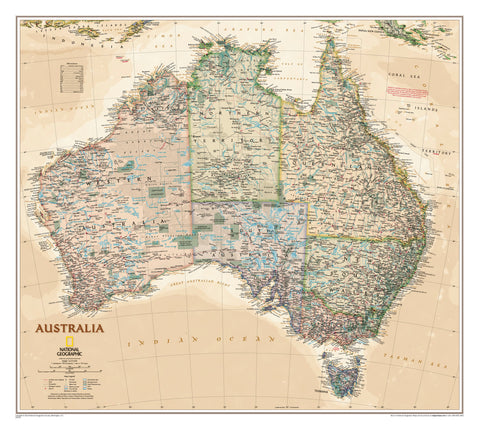
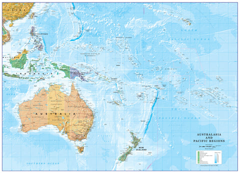
- Australia & New Zealand
- Countries, Continents & Regions
- Historical
- Vintage National Geographic
- Australian Capital Territory
- New South Wales
- Northern Territory
- Queensland
- South Australia
- Tasmania
- Victoria
- Western Australia
- Celestial
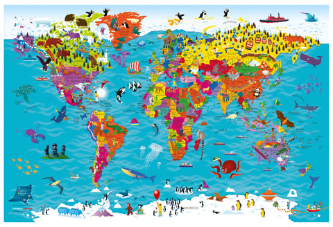
- Children's
- Mining & Resources
- Wine Maps
- Healthcare
- Postcode Maps
- Electoral Maps
- Nautical ▾
- Flags
▾
- Australian Flag Sets & Banners
- Flag Bunting
- Handwavers
- Australian National Flags
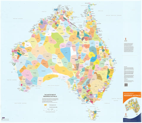
- Aboriginal Flags
- Torres Strait Islander Flags
- International Flags
- Flagpoles & Accessories
- Australian Capital Territory Flags
- New South Wales Flags
- Northern Territory Flags
- Queensland Flags
- South Australia Flags
- Tasmania Flags
- Victoria Flags
- Western Australia Flags
- Gifts ▾
- Globes ▾
Dear valued customer. Please note that our checkout is not supported by old browsers. Please use a recent browser to access all checkout capabilities


Map Guides, Travel Tips & Reviews

How Search and Rescue Teams Use Maps to Find Missing People
When someone is missing, search and rescue teams convert uncertainty into geography. Christopher O’Keeffe explains how Australian police, emergency services, volunteers, aircraft and maritime responders use last known positions, topography, lost-person behaviour, search sectors, GPS, beacons, drones and field navigation to decide where to look next—without losing sight of the person at the centre of the map.

How Emergency Services Use Maps During Bushfires and Natural Disasters
Emergency services do not use one map during a disaster. They combine authoritative base data, live observations, forecasts, public warning areas, field intelligence and local knowledge into a Common Operating Picture. Christopher O’Keeffe explains how Australian agencies map bushfires, floods, cyclones and recovery—and why source, time and uncertainty matter as much as the line on the map.

Why Australia Still Needs Paper Maps in 2026
Paper maps are not the opposite of digital mapping. They provide a physical layer of overview, independence, shared situational awareness and geographic understanding that fails differently from phones, networks, satellites and cloud platforms. Christopher O’Keeffe explains why that capability still matters to Australia in 2026.
© 2026 Mapworld. Website designed by Genie Media
X