- Australia ▾
- Topographic
▾
- Australia AUSTopo 250k (2024)
- Australia 50k Geoscience maps
- Australia 100k Geoscience maps
- Australia 250k Geoscience maps
- Australia 1.1m Geoscience maps
- New Zealand 50k maps
- New Zealand 250k maps
- New South Wales 25k maps
- New South Wales 50k maps
- New South Wales 100k maps
- Queensland 10k maps
- Queensland 25k maps
- Queensland 50k maps
- Queensland 100k maps
- Compasses
- Software
- GPS Systems
- Orienteering
- International ▾
- Wall Maps
▾
- World
- Australia & New Zealand
- Countries, Continents & Regions
- Historical
- Vintage National Geographic
- Australian Capital Territory
- New South Wales
- Northern Territory
- Queensland
- South Australia
- Tasmania
- Victoria
- Western Australia
- Celestial
- Children's
- Mining & Resources
- Wine Maps
- Healthcare
- Postcode Maps
- Electoral Maps
- Nautical ▾
- Flags
▾
- Australian Flag Sets & Banners
- Flag Bunting
- Handwavers
- Australian National Flags
- Aboriginal Flags
- Torres Strait Islander Flags
- International Flags
- Flagpoles & Accessories
- Australian Capital Territory Flags
- New South Wales Flags
- Northern Territory Flags
- Queensland Flags
- South Australia Flags
- Tasmania Flags
- Victoria Flags
- Western Australia Flags
- Gifts ▾
- Globes ▾
Dear valued customer. Please note that our checkout is not supported by old browsers. Please use a recent browser to access all checkout capabilities
Sahara ITMB Map
$24.95
Afterpay is only available for orders between $50.00 and $1000.00 More info

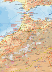
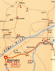
ITMB is pleased to announce another brand new map. Although we published a schematic map of the desert crossings a number of years ago, we felt that it had out-lived its useful shelf life and was retired last year. Using the digital data base that we have been creating for Africa for the past few years, we now have what we feel is a very strong map of the northern portion of Africa, from southern Morocco and Mauritania in the west to Egypt in the east, and from the Mediterranean coast south to partway through Niger, Chad, and Sudan. Technically, the coastal regions and the Nile Delta are not part of the desert, but desert-like features are so close to the coast in the vicinity of Cairo and Tripoli that it makes more sense to include all the areas that try to edit those more specifically a desert. The bad news about publishing a map of this part of the world at this time is that Islamic militancy is very much evident throughout the region and travel to Libya in particular is not recommended. However, this is a short-term reality that does not deter from the value of such a map, showing as it does the three great north-south passageways through the desert to the sub-Saharan countries. I used the western route many years ago, through Morocco and Mauritania, to Senegal. The other well-travelled route is through Algeria, through Tamanghasset, to Nigeria, and the route gaining favour being the Cairo to Cape route through Sudan. This map, being a digital data base, will be much easier to update as time passes and is very accurate, being satellite driven.
We can laminate this map, which will allow you to draw on it in whiteboard marker or apply map dots to locations of interest without permanently marking the map. The lamination also makes the map very durable and protects against tears and stains.
To laminate this map we have taken the folded map and flattened it out before encapsulating it in high-quality 80-micron laminate, so please be aware that there will still be slight fold lines visible.
Scale 1:3,850,000
Size 680 x 990mm


