- Australia ▾
- Topographic
▾
- Australia AUSTopo 250k (2024)
- Australia 50k Geoscience maps
- Australia 100k Geoscience maps
- Australia 250k Geoscience maps
- Australia 1.1m Geoscience maps
- New Zealand 50k maps
- New Zealand 250k maps
- New South Wales 25k maps
- New South Wales 50k maps
- New South Wales 100k maps
- Queensland 10k maps
- Queensland 25k maps
- Queensland 50k maps
- Queensland 100k maps
- Compasses
- Software
- GPS Systems
- Orienteering
- International ▾
- Wall Maps
▾
- World
- Australia & New Zealand
- Countries, Continents & Regions
- Historical
- Vintage National Geographic
- Australian Capital Territory
- New South Wales
- Northern Territory
- Queensland
- South Australia
- Tasmania
- Victoria
- Western Australia
- Celestial
- Children's
- Mining & Resources
- Wine Maps
- Healthcare
- Postcode Maps
- Electoral Maps
- Nautical ▾
- Flags
▾
- Australian Flag Sets & Banners
- Flag Bunting
- Handwavers
- Australian National Flags
- Aboriginal Flags
- Torres Strait Islander Flags
- International Flags
- Flagpoles & Accessories
- Australian Capital Territory Flags
- New South Wales Flags
- Northern Territory Flags
- Queensland Flags
- South Australia Flags
- Tasmania Flags
- Victoria Flags
- Western Australia Flags
- Gifts ▾
- Globes ▾
Dear valued customer. Please note that our checkout is not supported by old browsers. Please use a recent browser to access all checkout capabilities
Australia Hema 1000 x 875mm Large Laminated Wall Map
$69.95
or make 4 interest-free payments of
$17.49 AUD
fortnightly with
![]() More info
More info
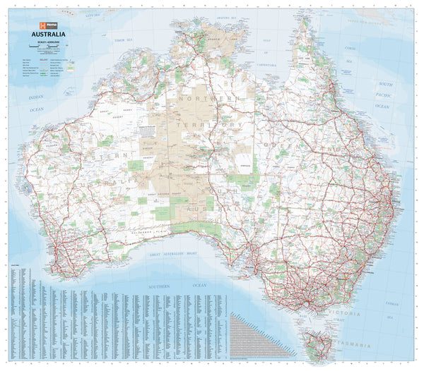
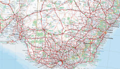
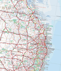
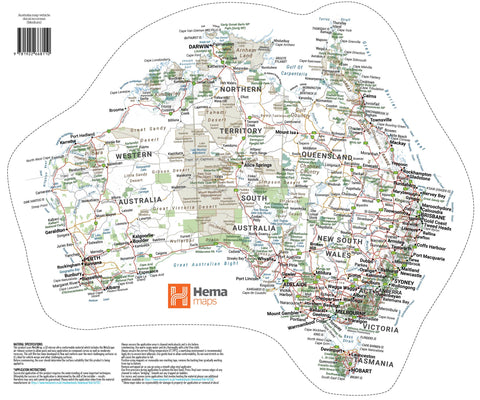
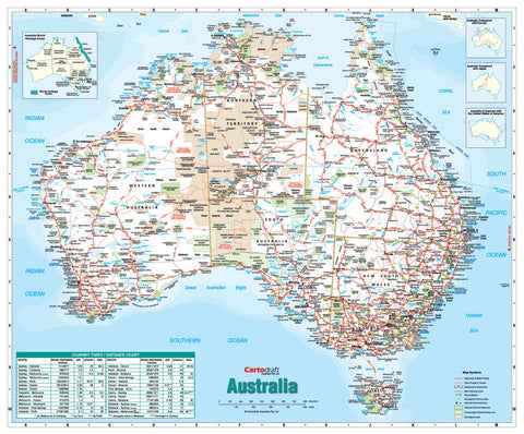
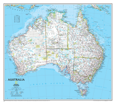
This Australia Hema map is the most comprehensive roadmap available. The map features more roads and road distances than have ever been shown on a map of Australia, with reliable differentiation between major, minor, sealed and unsealed roads, a beautiful map of Australia.
The map also shows a detailed index of place names for major towns and cities as well as a handy distance chart between major towns to help with journey planning.
Also shown are:
- Outback Road Houses & Fuel Stops
- Railways and Sidings
- Aboriginal Land
- National Parks / Reserves
- Military / Restricted Areas
- Lakes
This map is printed on high-quality 120 gsm FSC digital paper using archival grade Hewlett Packard fade-resistant pigment inks. The map is then hot laminated between two sheets of 90-micron gloss laminate, making it very durable and versatile. The laminate means you can draw on it and wipe it off afterwards; you can also place our acid-free Mark-It-Dots to show places of interest.
Scale: 1:4,500,000
Size: 1000 mm (wide) x 875 mm (high)
Made in Australia


