- Australia ▾
- Topographic
▾
- Australia AUSTopo 250k (2024)
- Australia 50k Geoscience maps
- Australia 100k Geoscience maps
- Australia 250k Geoscience maps
- Australia 1.1m Geoscience maps
- New Zealand 50k maps
- New Zealand 250k maps
- New South Wales 25k maps
- New South Wales 50k maps
- New South Wales 100k maps
- Queensland 10k maps
- Queensland 25k maps
- Queensland 50k maps
- Queensland 100k maps
- Compasses
- Software
- GPS Systems
- Orienteering
- International ▾
- Wall Maps
▾
- World
- Australia & New Zealand
- Countries, Continents & Regions
- Historical
- Vintage National Geographic
- Australian Capital Territory
- New South Wales
- Northern Territory
- Queensland
- South Australia
- Tasmania
- Victoria
- Western Australia
- Celestial
- Children's
- Mining & Resources
- Wine Maps
- Healthcare
- Postcode Maps
- Electoral Maps
- Nautical ▾
- Flags
▾
- Australian Flag Sets & Banners
- Flag Bunting
- Handwavers
- Australian National Flags
- Aboriginal Flags
- Torres Strait Islander Flags
- International Flags
- Flagpoles & Accessories
- Australian Capital Territory Flags
- New South Wales Flags
- Northern Territory Flags
- Queensland Flags
- South Australia Flags
- Tasmania Flags
- Victoria Flags
- Western Australia Flags
- Gifts ▾
- Globes ▾
Dear valued customer. Please note that our checkout is not supported by old browsers. Please use a recent browser to access all checkout capabilities


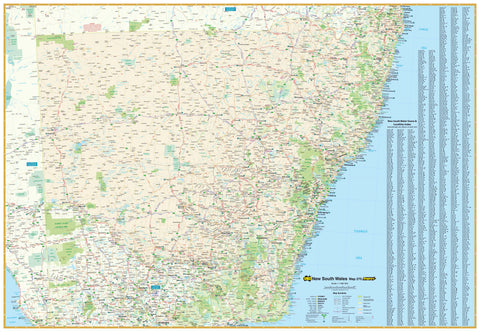
Sydney & Region Hema 700 x 1000mm Laminated Wall Map with Hang Rails
$225.00
or make 4 interest-free payments of
$56.25 AUD
fortnightly with
![]() More info
More info
The Greater Sydney Map by Hema extends north to Gosford, south to Sutherland and west to Penrith. It features all major and secondary roads and shows the met roads, national and state route numbers, and present and future freeways.
This easy-to-read map makes a suitable wall map for business planning as it also includes all the postcodes.
This map comes laminated, making it very durable and versatile, so you can draw on it and wipe it off afterwards; you can also place our Mark-It-Dots to show places of interest.
The map is printed on FSC 120 gsm matte-coated paper using fade-resistant pigment-based inks from Hewlett-Pakard. The map is then aminated between two sheets of 80-micron gloss laminate.
The easiest way to hang your map is by having wooden hang rollers attached to the top and bottom with a hanging cord on the top roller, so all you have to do is put a hook on the wall. The hang rails come lacquered in a natural timber colour.
Scale: 1:100,000
Size: 700 mm (w) x 1000 mm (h)
Note: Please allow 10 working days for delivery as hang rails need to be attached by our framer.
Made in Australia