- Australia ▾
- Topographic
▾
- Australia AUSTopo 250k (2024)
- Australia 50k Geoscience maps
- Australia 100k Geoscience maps
- Australia 250k Geoscience maps
- Australia 1.1m Geoscience maps
- New Zealand 50k maps
- New Zealand 250k maps
- New South Wales 25k maps
- New South Wales 50k maps
- New South Wales 100k maps
- Queensland 10k maps
- Queensland 25k maps
- Queensland 50k maps
- Queensland 100k maps
- Compasses
- Software
- GPS Systems
- Orienteering
- International ▾
- Wall Maps
▾
- World
- Australia & New Zealand
- Countries, Continents & Regions
- Historical
- Vintage National Geographic
- Australian Capital Territory
- New South Wales
- Northern Territory
- Queensland
- South Australia
- Tasmania
- Victoria
- Western Australia
- Celestial
- Children's
- Mining & Resources
- Wine Maps
- Healthcare
- Postcode Maps
- Electoral Maps
- Nautical ▾
- Flags
▾
- Australian Flag Sets & Banners
- Flag Bunting
- Handwavers
- Australian National Flags
- Aboriginal Flags
- Torres Strait Islander Flags
- International Flags
- Flagpoles & Accessories
- Australian Capital Territory Flags
- New South Wales Flags
- Northern Territory Flags
- Queensland Flags
- South Australia Flags
- Tasmania Flags
- Victoria Flags
- Western Australia Flags
- Gifts ▾
- Globes ▾
Dear valued customer. Please note that our checkout is not supported by old browsers. Please use a recent browser to access all checkout capabilities


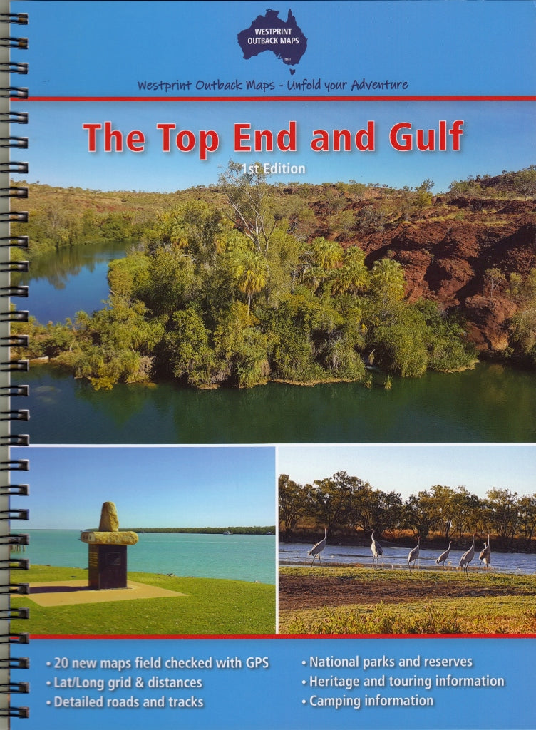
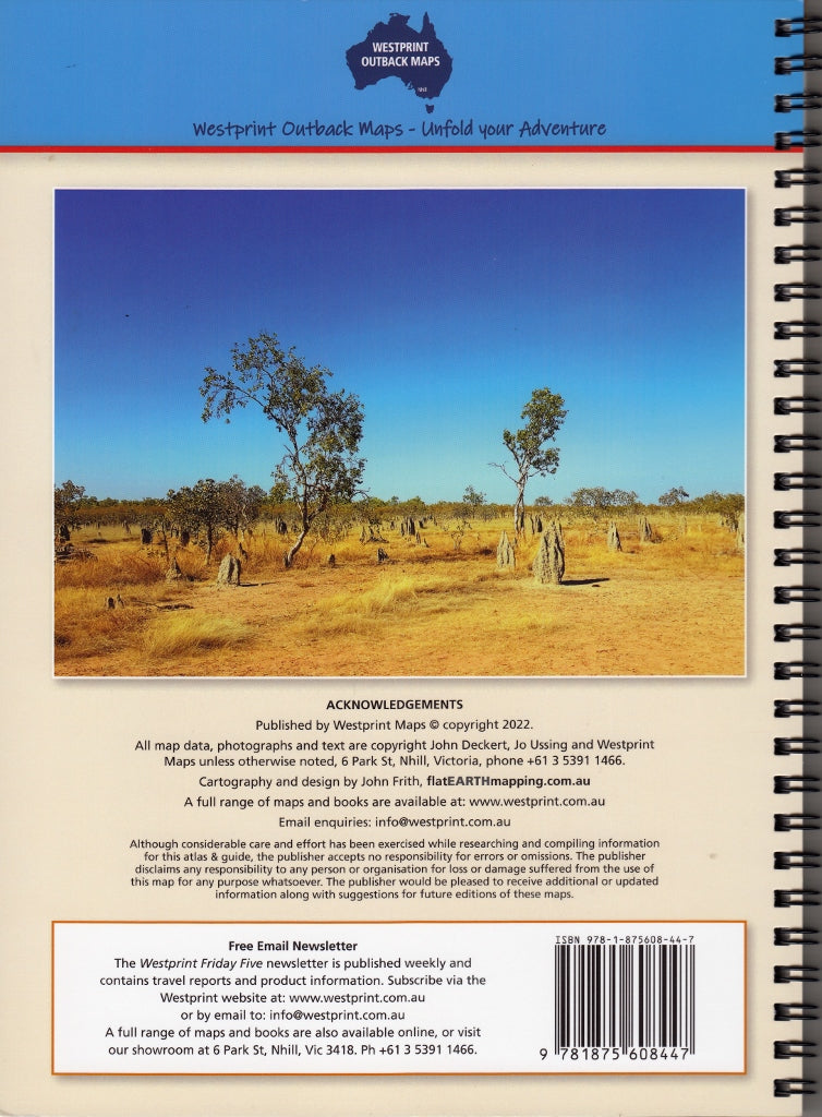
Top End & Gulf Atlas & Guide Westprint
$29.95
Afterpay is only available for orders between $50.00 and $1000.00 More info
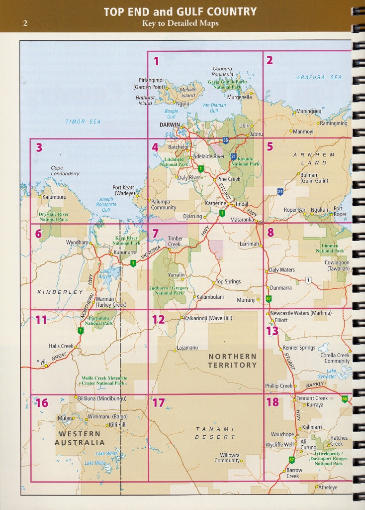
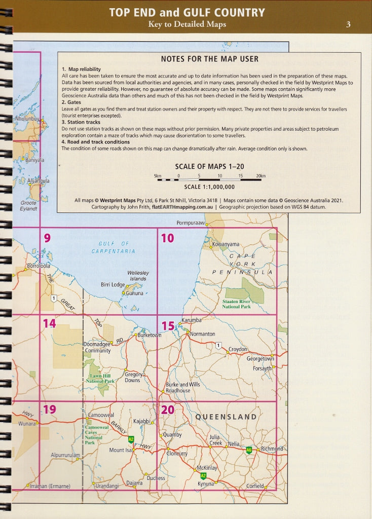
This brand new Top End and Gulf Atlas covers the area from Croydon and Julia Creek in Queensland across to Wyndham & Halls Creek in Western Australia.
- 20 new double page maps in a spiral bound book at a scale of 1:1,000,000
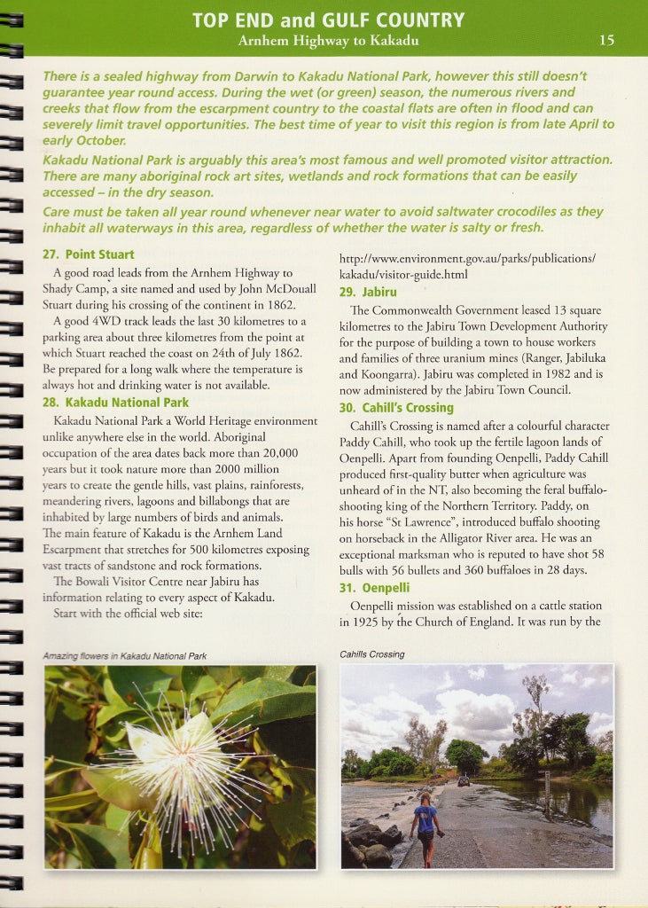
- over 30 pages of heritage and touring information including history of the area, details of the stations and local geography.
- over 70 numbered points of interest
- covers all the major tourist routes through this area.
First published 2022.
Size: 250 x 190mm
Customer Reviews
5.0 Based on 1 Reviews
Write a Review Filter Reviews:
JS
03/31/2023
J S.
Australia
Excellent reference
I ordered this publication as we are heading to the north and west, as far as Kununurra westwards and north to Nhulunbuy ( map doesn’t quite reach Nhulunbuy!!!) around the gulf and back through central Queensland. It covers nicely our planned route. It has plenty of useful and interesting information, historical and geographical, and places of interest. I’m sure it will be well thumbed by the time we get home after a couple of months. We plan to use it for night reading for background information,and as a paper map to augment our iPad maps.
Related Items


