- Australia ▾
- Topographic
▾
- Australia AUSTopo 250k (2024)
- Australia 50k Geoscience maps
- Australia 100k Geoscience maps
- Australia 250k Geoscience maps
- Australia 1.1m Geoscience maps
- New Zealand 50k maps
- New Zealand 250k maps
- New South Wales 25k maps
- New South Wales 50k maps
- New South Wales 100k maps
- Queensland 10k maps
- Queensland 25k maps
- Queensland 50k maps
- Queensland 100k maps
- Compasses
- Software
- GPS Systems
- Orienteering
- International ▾
- Wall Maps
▾
- World
- Australia & New Zealand
- Countries, Continents & Regions
- Historical
- Vintage National Geographic
- Australian Capital Territory
- New South Wales
- Northern Territory
- Queensland
- South Australia
- Tasmania
- Victoria
- Western Australia
- Celestial
- Children's
- Mining & Resources
- Wine Maps
- Healthcare
- Postcode Maps
- Electoral Maps
- Nautical ▾
- Flags
▾
- Australian Flag Sets & Banners
- Flag Bunting
- Handwavers
- Australian National Flags
- Aboriginal Flags
- Torres Strait Islander Flags
- International Flags
- Flagpoles & Accessories
- Australian Capital Territory Flags
- New South Wales Flags
- Northern Territory Flags
- Queensland Flags
- South Australia Flags
- Tasmania Flags
- Victoria Flags
- Western Australia Flags
- Gifts ▾
- Globes ▾
Dear valued customer. Please note that our checkout is not supported by old browsers. Please use a recent browser to access all checkout capabilities
Helsinki Borch Folded Laminated Map
$21.95
Afterpay is only available for orders between $50.00 and $1000.00 More info

|
Title: |
Helsinki |
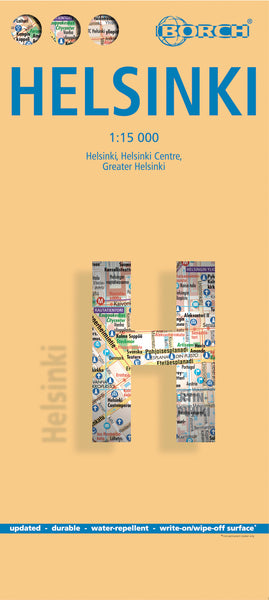
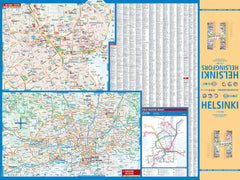
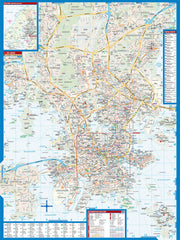
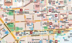
| Our soft-laminated folded map of Helsinki in the shows: Helsinki 1:15 000, Helsinki 1:7 500, Greater Helsinki 1:100 000, Public Transport Helsinki, Finland administrative & time zones, Top 30 Sights. Borch Maps show hotels, museums, monuments, markets, public transport, top sights and points of interest, useful statistics, conversion charts for temperatures, weights and measurements, climate charts showing temperatures, sunshine hours, precipitation and humidity, overview maps, time zones, and much more... |
| Called "the daughter of the Baltic", Helsinki is located on the tip of a peninsula and on 315 islands. The Helsinki metropolitan area is home to more than a million people. It has close historical connections with Tallinn, Estonia, Stockholm, Sweden and St. Petersburg, Russia. HelsinkI is the capital and largest city of Finland. Helsinki (Helsingfors in Swedish) is the northernmost metropolitan area in the world. Established by King Gustav I of Sweden in 1550, Helsinki consistently ranks very highly in the worlds top ten most livable cities. Due to the mitigating influence of the Baltic Sea and the North Atlantic Current, temperatures in winter are higher than the northern location might suggest, with temperatures in January and February averaging -5 C. Helsinki is also known as a hub of industrial design! In Helsinki slang the city is called Stadi (from the Swedish word stad, meaning "city").This truly fine city must be seen. |


