- Australia ▾
- Topographic
▾
- Australia AUSTopo 250k (2024)
- Australia 50k Geoscience maps
- Australia 100k Geoscience maps
- Australia 250k Geoscience maps
- Australia 1.1m Geoscience maps
- New Zealand 50k maps
- New Zealand 250k maps
- New South Wales 25k maps
- New South Wales 50k maps
- New South Wales 100k maps
- Queensland 10k maps
- Queensland 25k maps
- Queensland 50k maps
- Queensland 100k maps
- Compasses
- Software
- GPS Systems
- Orienteering
- International ▾
- Wall Maps
▾
- World
- Australia & New Zealand
- Countries, Continents & Regions
- Historical
- Vintage National Geographic
- Australian Capital Territory
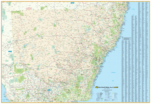
- New South Wales
- Northern Territory
- Queensland
- South Australia
- Tasmania
- Victoria
- Western Australia
- Celestial
- Children's
- Mining & Resources
- Wine Maps
- Healthcare
- Postcode Maps
- Electoral Maps
- Nautical ▾
- Flags
▾
- Australian Flag Sets & Banners
- Flag Bunting
- Handwavers
- Australian National Flags
- Aboriginal Flags
- Torres Strait Islander Flags
- International Flags
- Flagpoles & Accessories
- Australian Capital Territory Flags
- New South Wales Flags
- Northern Territory Flags
- Queensland Flags
- South Australia Flags
- Tasmania Flags
- Victoria Flags
- Western Australia Flags
- Gifts ▾
- Globes ▾
Dear valued customer. Please note that our checkout is not supported by old browsers. Please use a recent browser to access all checkout capabilities


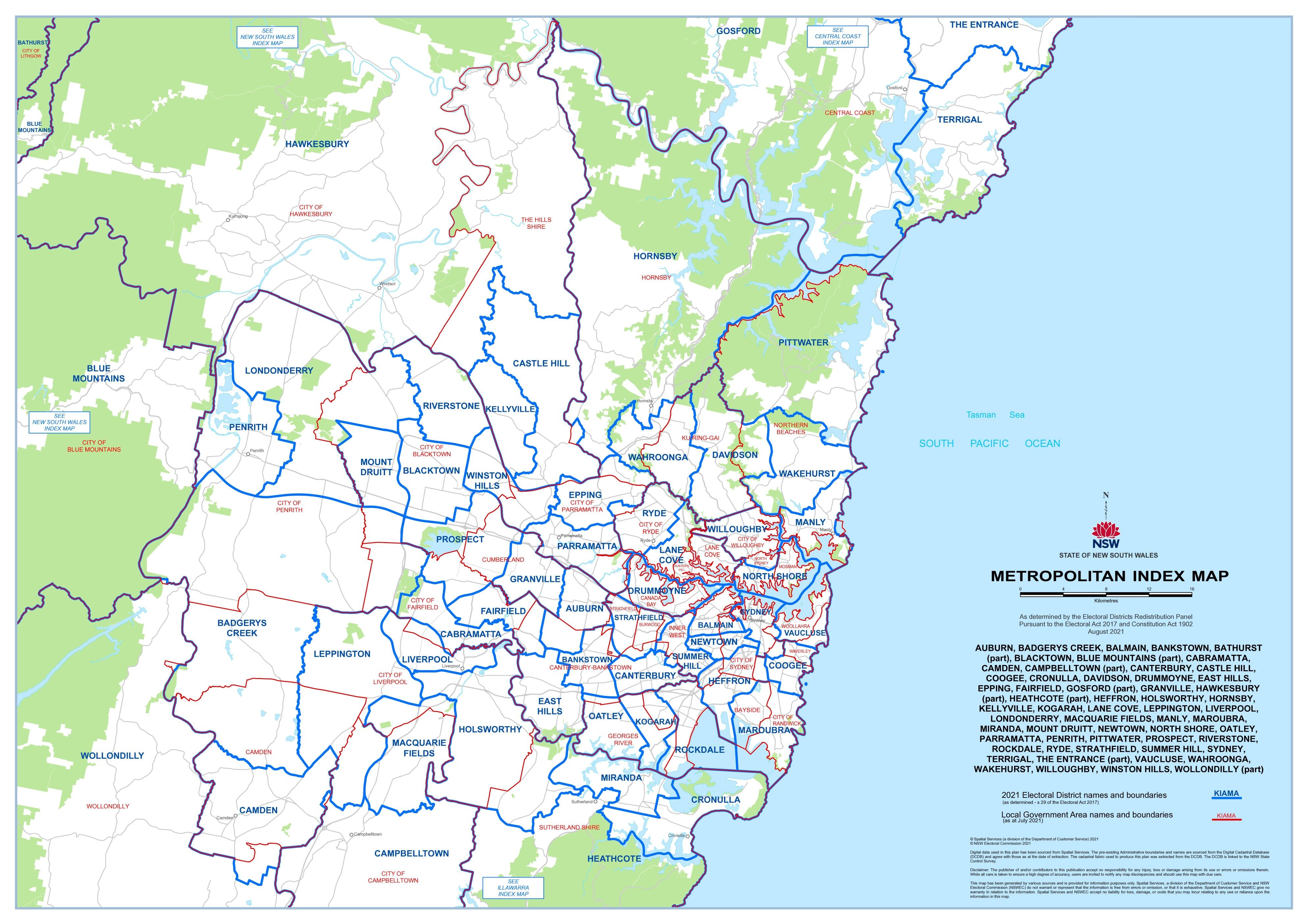
New South Wales State Electoral Divisions and Local Government Areas Map - METROPOLITAN SYDNEY
$69.95
or make 4 interest-free payments of
$17.49 AUD
fortnightly with
![]() More info
More info
A detailed map covering:
AUBURN, BADGERYS CREEK, BALMAIN, BANKSTOWN, BATHURST
(part), BLACKTOWN, BLUE MOUNTAINS (part), CABRAMATTA,
CAMDEN, CAMPBELLTOWN (part), CANTERBURY, CASTLE HILL,COOGEE, CRONULLA, DAVIDSON, DRUMMOYNE, EAST HILLS,EPPING, FAIRFIELD, GOSFORD (part), GRANVILLE, HAWKESBURY (part), HEATHCOTE (part), HEFFRON, HOLSWORTHY, HORNSBY,KELLYVILLE, KOGARAH, LANE COVE,LEPPINGTON,LIVERPOOL,LONDONDERRY, MACQUARIE FIELDS, MANLY, MAROUBRA,MIRANDA, MOUNT DRUITT, NEWTOWN, NORTH SHORE,OATLEY,PARRAMATTA,PENRITH,PITTWATER,PROSPECT,RIVERSTONE, ROCKDALE, RYDE, STRATHFIELD, SUMMER HILL, SYDNEY,
TERRIGAL, THE ENTRANCE (part), VAUCLUSE, WAHROONGA,
WAKEHURST, WILLOUGHBY, WINSTON HILLS, WOLLONDILLY (part)
The map includes names and boundaries of the electoral divisions and names and boundaries of the local government areas.
We are able to produce individual detailed maps of each electoral division if required please contact us.
Size 1000 x 700mm