- Australia ▾
- Topographic
▾
- Australia AUSTopo 250k (2024)
- Australia 50k Geoscience maps
- Australia 100k Geoscience maps
- Australia 250k Geoscience maps
- Australia 1.1m Geoscience maps
- New Zealand 50k maps
- New Zealand 250k maps
- New South Wales 25k maps
- New South Wales 50k maps
- New South Wales 100k maps
- Queensland 10k maps
- Queensland 25k maps
- Queensland 50k maps
- Queensland 100k maps
- Compasses
- Software
- GPS Systems
- Orienteering
- International ▾
- Wall Maps
▾
- World
- Australia & New Zealand
- Countries, Continents & Regions
- Historical
- Vintage National Geographic
- Australian Capital Territory
- New South Wales
- Northern Territory
- Queensland
- South Australia
- Tasmania
- Victoria
- Western Australia
- Celestial
- Children's
- Mining & Resources
- Wine Maps
- Healthcare
- Postcode Maps
- Electoral Maps
- Nautical ▾
- Flags
▾
- Australian Flag Sets & Banners
- Flag Bunting
- Handwavers
- Australian National Flags
- Aboriginal Flags
- Torres Strait Islander Flags
- International Flags
- Flagpoles & Accessories
- Australian Capital Territory Flags
- New South Wales Flags
- Northern Territory Flags
- Queensland Flags
- South Australia Flags
- Tasmania Flags
- Victoria Flags
- Western Australia Flags
- Gifts ▾
- Globes ▾
Dear valued customer. Please note that our checkout is not supported by old browsers. Please use a recent browser to access all checkout capabilities
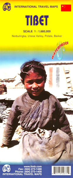
Tibet ITMB Map
$24.95
Afterpay is only available for orders between $50.00 and $1000.00 More info

ITMB delayed printing this map for six months in order to send a person into the region to locate the route of the new railway to Lhasa accurately. It took three years and repeated visits to the country, before we could get the locations and spellings of dozens of monasteries, mountains, and villages correct. This is an exceptional map!
This detailed map of Tibet also includes very good insert maps of Norbulingka, the Lhasa Valley, Potala and Barkor.
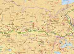
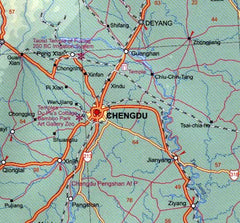
The map is fully indexed and clearly shows international borders, disputed borders (always good to know), provincial borders and prefecture borders. The map also shows railways, motorways, main roads, connecting roads, minor roads and tracks. Clearly marked are cities, towns, villages and settlements.
One of the best features of this map is that it is shaded to show the different elevations throughout the country as well as showing the spot heights of the mountains.
We can laminate this map, which will allow you to draw on it in whiteboard marker or apply map dots to locations of interest without permanently marking the map. The lamination also makes the map very durable and protects against tears and stains.
To laminate this map we have taken the folded map and flattened it out before encapsulating it in high-quality 80-micron laminate, so please be aware that there will still be slight fold lines visible.
Publication date: 2012
Scale 1:1,680,000
Size 690 x 1000mm


